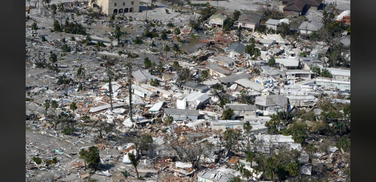
Engineers at the Massachusetts Institute of Technology have introduced a new machine learning technique designed to produce realistic representations of severe weather occurrences that lack any historical records. This approach focuses on generating detailed visual representations that illustrate the potential scale, strength, and length of uncommon storm systems. The process relies on statistical information about weather combined with geographic details to construct models that exceed the intensity levels found in existing datasets used for training.
The development addresses challenges in anticipating rare but impactful natural phenomena. Traditional forecasting tools often depend on past observations, which limits their ability to account for events outside recorded experience. By contrast, the new method allows for the creation of hypothetical yet plausible situations that could inform better decision making by those responsible for infrastructure and emergency response.
Researchers involved in the project emphasize its utility for anticipating heavy precipitation, flooding incidents, and uncontrolled fires in areas prone to such risks. The generated outputs can serve as planning aids, helping authorities visualize possible outcomes and allocate resources more effectively ahead of time. This capability stems from the system’s ability to extrapolate beyond known data boundaries while maintaining a foundation in established meteorological principles.
The underlying technology processes large volumes of spatial and numerical weather information to identify patterns that might indicate extreme conditions. It then synthesizes new scenarios that align with these patterns but push parameters further than previously observed cases. This results in maps that depict variations in storm characteristics, offering a broader range of possibilities for analysis and preparation.
Applications extend to urban development and environmental management, where understanding potential extremes can influence building codes, drainage systems, and land use policies. The method provides a tool for exploring what if situations without relying solely on limited historical archives. Its design ensures that outputs remain grounded in statistical realities derived from available records.
Further testing and refinement are expected to enhance the precision of these simulations. The team continues to explore ways to integrate additional data sources that could improve the fidelity of the generated events. Overall, the initiative represents an advancement in using computational methods to address gaps in knowledge about infrequent but significant weather related threats.
By focusing on events that surpass training data extremes, the system opens avenues for more comprehensive risk assessment. Planners in various sectors may benefit from access to these expanded scenario sets when developing strategies for resilience against climate variability. The neutral and data driven nature of the approach supports objective evaluation of potential impacts across different geographic contexts.
Continued collaboration among specialists in engineering, data science, and atmospheric studies will likely contribute to ongoing improvements. The core innovation lies in its capacity to model uncharted territory in weather behavior while preserving scientific rigor. This positions the technique as a valuable addition to existing suites of analytical tools used in hazard mitigation efforts worldwide.