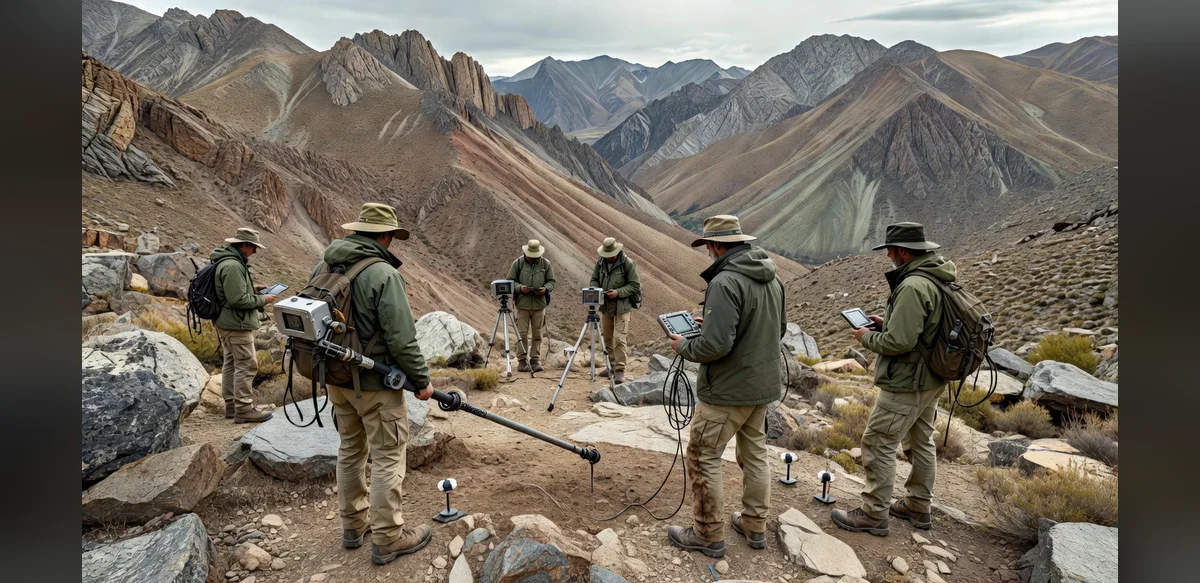
Precore Gold has completed an extensive high-resolution magnetic survey covering 128 kilometers. The work extends beyond zones previously tested by drilling at the Arikepay location. The program focuses on identifying hidden geological structures and possible extensions of a larger gold-copper mineral system.
The survey employed advanced geophysical techniques to map subsurface variations in magnetic properties. Such data helps geologists interpret rock types and structural controls that may host mineralization. By covering areas outside historical drill sites, the effort aims to refine understanding of the broader deposit footprint.
Exploration teams collected measurements along systematic lines to ensure consistent coverage. The resulting dataset provides higher resolution than earlier regional surveys. Analysts will integrate these findings with existing geological and drilling information to prioritize future targets.
The initiative reflects standard practices in mineral exploration where geophysical methods guide subsequent drilling. Concealed structures often remain undetected until detailed surveys are conducted. Potential extensions of known mineralization can indicate larger systems warranting additional investigation.
Company representatives noted that the survey marks an important step in evaluating the Arikepay area. Data processing and interpretation are now underway. Results will inform decisions on follow-up exploration activities.
Magnetic surveys are non-invasive and provide rapid coverage of large areas. They complement other methods such as soil sampling and geological mapping. In this case the 128-kilometer program targeted both known trends and adjacent ground.
The gold-copper system at Arikepay has been the subject of prior drilling campaigns. Historical work identified mineralization within certain limits. The new survey seeks to determine whether similar conditions exist outside those boundaries.
Industry observers view such geophysical programs as routine components of modern exploration strategies. They reduce uncertainty before committing resources to additional drilling. The current effort aligns with that approach.
Further analysis of the magnetic data will continue over the coming weeks. Integration with other datasets is expected to produce updated geological models. These models may highlight new areas for testing.
The completion of the survey represents a milestone in the ongoing evaluation of the property. Precore Gold continues to apply systematic methods to assess mineral potential. Future updates will depend on the outcomes of data interpretation and subsequent planning.