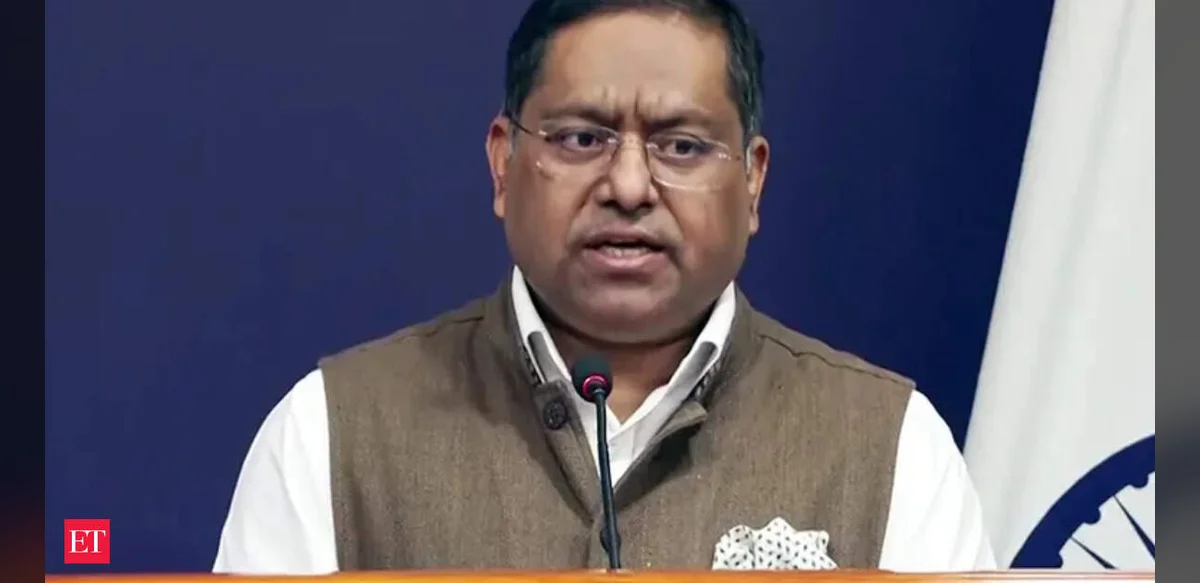
India has called on the United Nations to ensure that any world map supported by the organization accurately represents Jammu and Kashmir along with Ladakh in line with the country’s official boundaries. Officials in New Delhi have stated that any depiction which deviates from this standard or presents misleading information will not be acceptable. This position was conveyed after India supported a United Nations resolution aimed at improving the precision of global maps.
The resolution in question promotes the use of equal-area projections to reduce distortions that can occur in traditional mapping methods. It seeks to encourage greater consistency and reliability in how international bodies present geographic information. Indian representatives emphasized that adherence to correct territorial outlines is essential for maintaining clarity in global documentation.
New Delhi’s stance underscores the importance of precise cartographic standards when dealing with sensitive regions. The Ministry of External Affairs highlighted that maps used in UN publications or related materials should reflect established national boundaries without alteration. This approach aligns with India’s broader efforts to ensure that international references match its recognized territorial integrity.
Discussions around map accuracy have gained attention in recent international forums. The push for better projection techniques aims to provide a more balanced view of landmasses across the globe. India’s vote in favor of the resolution demonstrates support for technical improvements while simultaneously reinforcing its requirements regarding specific areas.
Authorities noted that incorrect representations can lead to confusion and misinterpretation in diplomatic and administrative contexts. Therefore, the expectation is that all UN-backed materials will incorporate the necessary updates to align with official records. This request is framed as a matter of factual correctness rather than a new demand.
The emphasis on accurate mapping extends to various publications and digital resources associated with the United Nations. By advocating for these standards, India seeks to promote uniformity in how geographic data is handled at the multilateral level. The statement from the Ministry of External Affairs serves as a reminder of the need for consistency in such representations.
In the broader context of international cooperation, map accuracy plays a role in supporting clear communication among member states. The resolution’s focus on equal-area methods is intended to address long-standing issues with visual distortions that affect perceptions of size and location. India’s participation reflects an interest in both technical advancement and the preservation of recognized boundaries.
Officials have reiterated that any future UN materials must avoid discrepancies when illustrating the regions in question. This ensures that references remain reliable for educational, research, and policy purposes. The call for compliance is presented as a standard expectation for international organizations.
Overall, the development highlights the intersection of technical mapping practices and national positions on territorial depiction. India’s response to the resolution combines support for improved global standards with a firm requirement for alignment with its official maps. Continued attention to these details is expected in upcoming UN initiatives and related documentation.