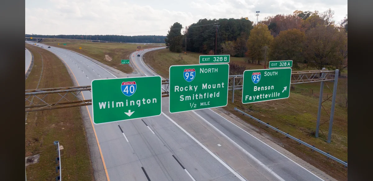
Highway exit numbers often follow structured systems that provide drivers with useful location information. In many regions, these numbers correspond directly to mile markers along the route. This approach allows travelers to gauge distances between exits without needing separate signage for each measurement.
The practice reduces confusion on long stretches of road by aligning exit identifiers with physical positions. For example, an exit numbered 45 typically sits near the 45-mile point from a designated starting reference. Such consistency helps with navigation planning and emergency response coordination.
Different jurisdictions apply variations of this method. Some use sequential numbering from one end of the highway to the other, while others tie numbers to cumulative mileage. The mileage-based system proves especially practical on interstate routes spanning multiple states.
Drivers benefit from this setup during trips by estimating travel times more accurately. It also assists in locating services like rest areas or fuel stops positioned at known mile points. Maintenance crews and law enforcement rely on the same references for efficient operations.
Over time, transportation authorities have refined these numbering conventions to accommodate road expansions or rerouting. Updates occur when new interchanges are added, ensuring the system remains aligned with actual geography. Public education campaigns occasionally highlight these details to improve overall road awareness.
The underlying logic behind exit numbers stems from efforts to standardize signage across vast networks. Early highway designs incorporated mile-based markers as a foundational element. This historical choice continues to influence modern implementations in numerous countries.
Variations exist in urban versus rural settings, where exit density differs significantly. Dense city highways may combine numbering with additional directional indicators. Rural routes emphasize the mileage correlation for longer intervals between exits.
Safety considerations play a role in how these numbers are displayed and maintained. Clear visibility of signs at appropriate intervals prevents last-minute maneuvers. Consistent application across a network supports smoother traffic flow during peak periods.
Technological integrations, such as GPS mapping, incorporate these exit references into digital guidance. Users receive prompts tied to both numbers and mile positions. This combination enhances reliability when traditional signs are obscured by weather or other factors.
Future adjustments to highway systems may build upon the established framework. Planners evaluate data on usage patterns to determine optimal numbering for new segments. The goal remains providing clear, functional information to all road users.
Overall, the method embedded in exit numbering reflects deliberate design choices aimed at clarity and utility. Understanding these patterns allows motorists to interpret signage more effectively during daily commutes or extended journeys.