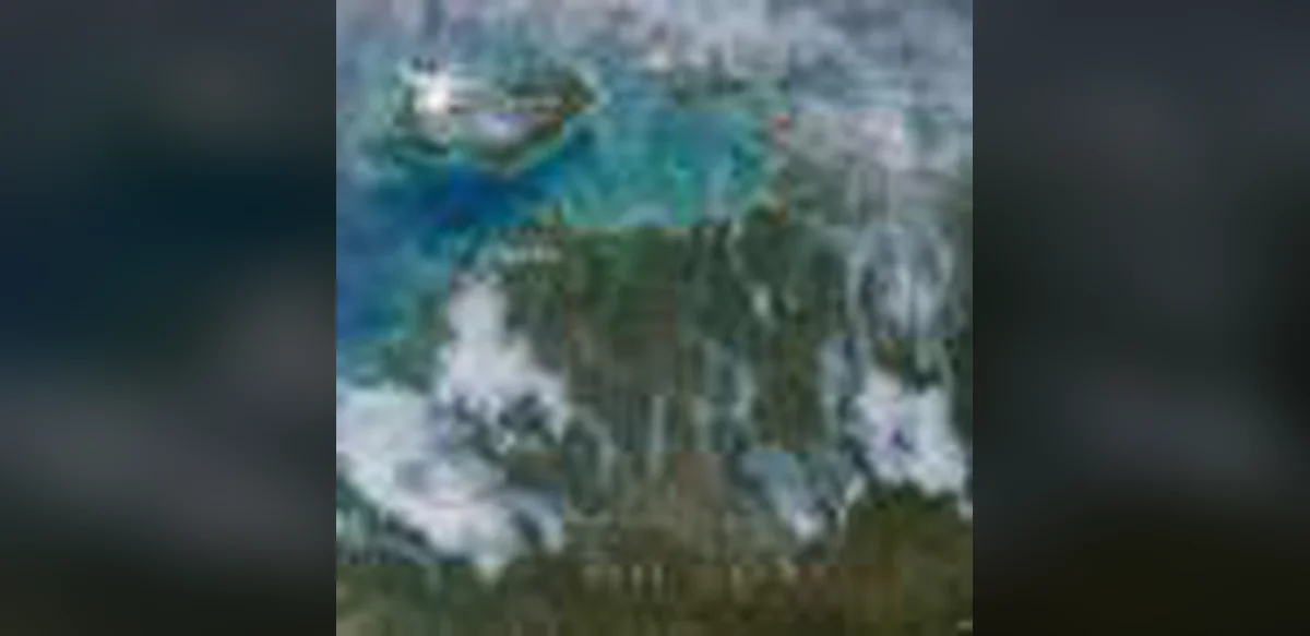
NASA satellites often detect numerous wildland fires across the Top End and Arnhem Land areas of Australia’s Northern Territory during May and June. On some afternoons the fires appear extensive in imagery and generate large smoke plumes, as seen in an image from the Aqua satellite on May 28, 2026. At other times the fires remain smaller, with limited smoke visible despite many detected hotspots. The timing, locations, and pattern match deliberate prescribed burns used for land management. Fires are typically started in the morning, with smoke increasing through the day and sometimes forming noticeable plumes under moderate winds. These burns target grasses, underbrush, and scattered trees in the tropical savanna. Land managers have merged traditional Indigenous practices with modern methods in programs such as the West Arnhem Land Fire Abatement project. The aim is to create firebreaks and lower fuel loads early in the dry season, which runs from May to September, thereby limiting more intense fires and emissions later. Satellite data indicate that these efforts have moved fire activity earlier in the season and reduced high-intensity burns and associated emissions.