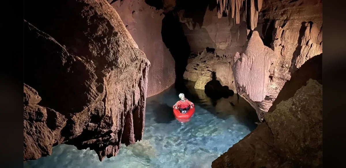
Visitors to the Grand Canyon often focus on visible cliffs and distant views, yet much of its vital water system lies hidden below the surface. A network of caves, fractures and underground channels moves water through the region, feeding springs that support wildlife, plants and park visitors. With drought increasing across the Southwest, researchers are studying how this unseen system works and what risks it may face. Much of the park’s drinking water comes from Roaring Springs on the North Rim. The spring supplies distribution lines and maintains habitats that need steady flow year-round. Its remote location has limited direct study, leaving questions about recharge paths unanswered. Teams from Northern Arizona University have explored connected caves that are difficult to reach and closed to the public. They carry gear over rough ground, then navigate tight passages, climbs and flooded sections. Instead of traditional surveys alone, the scientists use mobile lidar to create precise digital maps of walls, ceilings and geological features. More than ten kilometres of passages have been recorded, revealing patterns in how water has shaped the rock over time. Snowmelt from the Kaibab Plateau seeps through layered rock and follows fractures and limestone channels rather than moving straight down. Earlier dye tests showed water can travel many kilometres to the springs in short periods. Future work will combine airborne lidar with long-term satellite and snow records to track changes in accumulation and melt patterns, along with surface features such as sinkholes. Declining snow levels in the region make these records important for understanding future water supply to the springs.